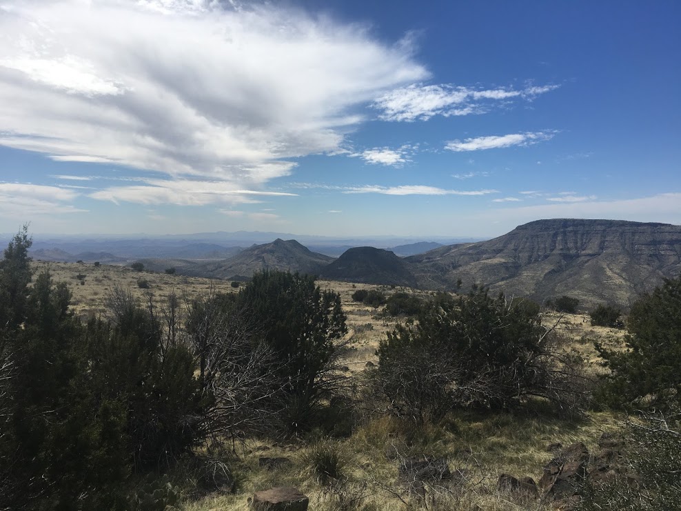
Northeast of the Spur Cross Ranch Conservation Area is Skull Mesa. From the bottom, Skull Mesa looks like a towering mountain. From the top, it is a flat walkable area, covered here and there by volcanic rocks. Skull Mesa is the edge of a large and complex canyon-line structure part of the Chalk Canyon Formation.

The trail to Skull Mesa starts at the bottom of the valley, around the Spurr Cross parking lot, off Cave Creek Road in Cave Creek, about 40 minutes northeast of Phoenix/Scottsdale. It takes about 3/4 hours to get from the parking lot to the top of Skull Mesa. Total distance out and back is 11.4 miles with an elevation gain of 2,742 ft. The trail starts flat with a few easy rivers crossings. After the last river crossing, the trail ascends gently. Finally, after passing through a gate, the trail becomes steep and demanding. The views from the top are breathtaking — definitely worth the effort. The trail is well-marked and there is no need to bring a map, but just in case, AllTrails has you covered. There is little or no shade on the trial. Bring plenty of water and be prepared for the Arizona sun.
We tried ascending Skull Mesa once, but we started too late so we could not make it to the top in time to get back before sunset. We tried a second time, starting at 10 AM. This second time we made it to the top and made it back to the parking lot at 5 PM. We rested at a top for about half hour. So it was a 7 hour trip total.
The parking lot gets filled quickly, but we encountered few people on the trial. There are several shorter and more popular trails in the same area. We had the top of Skull Mesa all for ourselves. As you reach the top, turn left and go all the way to the edge. This is where the views are best. The top of Skull Mesa is relatively flat. There is also a trail that goes right. We followed the rightward trail for a bit. But it was not clear where it went so we turned back after a while.
Leave a Reply