In mid-June we happened to be in New York state. One of us lived in upstate NY for several years and found the region breathtakingly beautiful. It certainly gives California a run for its money, especially when it comes to outdoor adventures. On this particular trip, we set our sights on the Adirondacks region for some hiking.
The Adirondacks, located at the northeastern tip of NY State, are famous for their rugged beauty, abundant lakes and rivers, and extensive network of trails and parks. For a long while, we’ve been wanting to hike some of the mountains in the high peaks–a group of 46 mountains that are over 4,000 feet high. Like any ambitious hiker, we were intent on hiking Mount Marcy, the highest of the high peaks, standing at about 5,344 ft. Due to a combination of factors, including weather, we soon settled for Whiteface Mountain, the fifth highest of the 46 peaks, standing at 4,867 ft. (More on this change of plans below.)

It was June. The temperature had fluctuated between mild and wildly hot earlier in the spring. At the tail end of June, it was unseasonably cool. We’d had a busy preceding few months back home in California, and while here visiting family over the 4th of July holiday, we wanted to take some time for ourselves to soak up the natural surrounding. So we booked an Airbnb in Jay, NY that was off the grid. Located on the Blue Pepper Farm, it was a tiny house with no electricity, no running water, a compostable toilet out back in the woods and a fire stove to heat the place, as needed. It was charming and just what the doctor ordered.
We arrived early in the evening. After dropping our bags, we quickly checked out the place, and then set out to find a spot to watch the last of the sunset as it cast a beautiful orange glow over the distant mountain ranges. We soon resettled in our tiny house, making a fire and a soup for a late supper before relaxing on the sofa with tea.
We got up early the next morning to find a light mist of rain. The forecast had predicted rain, but we were hopeful for a change in weather patterns. Oh well. The rain was disappointing as we questioned whether hiking Mount Marcy would be safe. Nonetheless, we dressed in hiking gear and set out for breakfast to hatch a new plan for our day. We arrived at one of the few restaurants in Upper Jay, the Adirondacks Mountain House. It was the hot ticket in town because everyone else seemed to be there. We managed to find a spot to park and scurried to a table in a far corner of the balcony. We wanted the outdoors to enjoy the fresh air but also monitor the weather.
Finished breakfast, we asked our waiter to fill our water bladders. We’d decided we would hike anyway since we’d come so far and didn’t know when we’d get back to this area. We drove to the trailhead for Whiteface Mountain—not our first choice, but better safe than sorry. We found a few cars along Reservoir Road, which is where we started via the Wilmington Trail. We chose this starting location because it gave us options for detours to a few of the other mountains. We stopped at Lookout and Marble mountains and knocked off another high peak, Esther Mountain (4,240) on our climb up to Whiteface.
The weather was a steady mist the whole time. There were more people on the trails than we’d anticipated–good because we weren’t the only crazy folks out here, but bad because it made the trails muddy. Besides the mud, the trail was well maintained. It got slippery in parts where there were rocks. Oh, expect scrambling; there is no way to get to the top of Whiteface without major scrambling in several sections of the trail.
The very last stretch of the trail — as we hiked along the ridge to the peak– was rugged and exposed and rocky. The wind was unrelenting. After snapping a few pictures by the summit sign, we found refuge in a building that serves as museum and meteorological station.

This was a challenging hike, even for experienced hikers, as we consider ourselves to be. The total distance was near 10 miles roundtrip and we completed it in about 7 hours.
At the end of the hike, we rewarded ourselves with pizza from a little restaurant in Jay. It wasn’t memorable, so the name isn’t important.
We spent the rest of our days with family and managed to squeeze in one last hike in Minnewaska State Park Preserve: Sam’s Point Area near New Paltz, NY. The Sam’s Point Area, located on the highest section of the Shawangunk Mountains, is the most southerly section of Minnewaska State Park Preserve. The area comprises approximately 5,000 acres, and contains a globally rare community of high altitude pitch pine barrens. The pitch pine barrens, and the matrix of chestnut oak forest that surrounds them, provide habitat for abundant flora and fauna, both rare and common. (See trail map.)
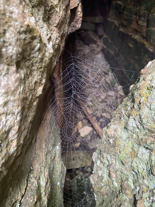
We had the bounty of cliffs and numerous scenic vistas, plus a few lakes and a cave as we made our way to the Verkeerderkill Falls. The falls drop 180 feet to the bottom of what felt like our own private canyon. We perched on a rock nearby, watching the fall and enjoying the lunch we brought from home. A few fellow hikers looked on as they continued their hikes or searched for an equally charming perch to enjoy the falls.

There is limited parking at Sam’s Point and once the lot reaches its capacity, they turn away hikers. The vehicle use fee is $10 per car. Near the parking lot, there is a shop where you pay. There are public restrooms, as well. The shop has maps and few bits of information to understand the history of the area, including a nod to the historic hamlet of Cragsmoor, NY, the tiny town you drive through to get to the preserve.

Leave a Reply